Tesla Builds Maps To Fix FSD
After years of dismissing external data, Tesla is developing an internal mapping system to address persistent errors in its autonomous driving software.
By Thabo Mokoena ·
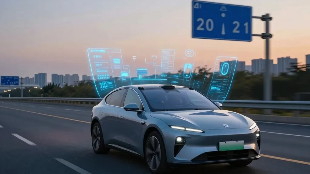
Tesla is now constructing its own proprietary maps to resolve some of the most frequent failures in its Full Self-Driving system. The company confirmed this strategic pivot during its third-quarter 2026 earnings call, marking a significant departure from its long-standing public stance on autonomous vehicle technology.
The decision addresses specific operational shortcomings, including the vehicle’s ability to read speed limits, execute parking maneuvers, and select optimal routes. Ashok Elluswamy, Tesla’s Vice President of AI, detailed the initiative, stating that the company should not rely on external providers for critical navigation data. Instead, Tesla is developing a new AI-based mapping and navigation architecture that leverages data collected collectively by its fleet.
This new system is designed to learn individual driver preferences and respond to voice commands. Elluswamy indicated that the technology will initially handle the start and end of trips with the release of FSD v15. Over the coming months, the system is expected to take over broader navigation, parking, and destination management functions.
The shift is notable given Tesla’s history. In 2015, the company launched Autopilot with high-precision mapping capabilities. However, at its 2019 Autonomy Day, CEO Elon Musk described relying on such maps as a "huge mistake" that made systems "extremely brittle." He famously dismissed lidar as a "fool’s errand," arguing that cameras and AI alone could solve driving anywhere. Seven years later, the company is building a map layer to fix issues its vision system struggles to handle independently.
The urgency for this change is highlighted by recent performance data. Last month, a Belgian road safety group reported that FSD exceeded the speed limit in 55% of 30 km/h zones tested in Brussels. The vehicles averaged 44 km/h, partly because the car’s display frequently showed a 50 km/h limit. In the United States, the National Highway Traffic Safety Administration is weighing an investigation into claims that Tesla Robotaxis speed through active school zones, involving approximately 1,000 Model Y and Cybercab vehicles.
This approach brings Tesla’s methodology closer to that of competitors like Waymo. Waymo maps cities using sensor-equipped vehicles before launching service and updates those maps continuously as its fleet drives. Tesla is now adopting a similar model, where cars collect visual data to feed a Tesla-built map that improves driving performance across the fleet. The primary hardware difference remains that Waymo’s vehicles are equipped with lidar.
The move also aligns with how Tesla’s Robotaxi service currently operates: within small, geofenced service areas in specific cities, with Tesla managing fleet operations. While the company is not currently discussing centimeter-level high-definition maps, a fleet-built map that becomes increasingly detailed could evolve in that direction. This development underscores that both major players are solving similar environmental understanding challenges, though Tesla’s approach relies less on dedicated mapping sensors.
The transition suggests that vision alone may not be sufficient for reliable autonomous driving in all conditions. By integrating a dedicated map layer, Tesla aims to provide a more robust foundation for its software, potentially improving safety and user experience as it continues to refine its self-driving capabilities.
Source: Electrek