Rainfall capped at half an inch for San Antonio voters
A fast-moving cold front will bring brief showers and mild 70s temperatures to Bexar County on Tuesday, clearing by midday.
By Robert Herrera ·
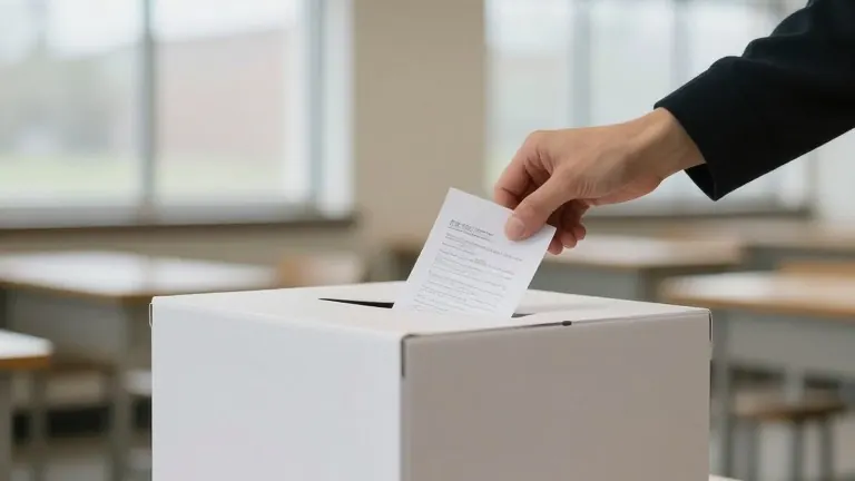
The National Weather Service projects that a fast-moving cold front will deliver no more than half an inch of rain to the San Antonio area on Election Day. This precipitation total is low enough to keep most outdoor voting operations on schedule while still requiring early risers to prepare for wet conditions.
The front will trigger showers ahead of and behind its passage. More than half of the San Antonio area could see rain on Monday night and early Tuesday morning. The NWS stated that by Tuesday morning, most activity should be over the I-35 corridor, with all shower and thunderstorm activity pushing into the Coastal Plains by late morning and eventually out of the area entirely by noon or sooner.
Voters in Bexar County can rely on the rain to taper off by midmorning and be gone by midday. Polls are open from 7 a.m. to 7 p.m. on Tuesday. The primary benefit for those waiting in lines will be cloudy skies and milder temperatures in the 70s. Humidity levels are expected to drop from nearly 90% at 8 a.m. to around 50% by 11 a.m. and remain there for the rest of the afternoon.
While severe weather is possible, the risk is moderate. The NWS noted that damaging winds and large hail cannot be completely ruled out. The chances for these events increase if daytime heating from Monday afternoon remains when the front arrives. However, the rapid movement of the system limits the duration and intensity of the storm cells.
The arrival of this front sets the tone for the rest of the week. Afternoon highs will be in the mid-70s from Wednesday through Friday, with sunrise temperatures in the upper 50s. A second cold front is expected to drop weekend highs closer to 70 and early morning lows into the lower 50s, though the exact timing of that second system remains uncertain.
For the remainder of November, the weather service reports that highs are usually in the lower 70s and upper 60s, with lows dipping into the 50s. A handful of days with highs in the 80s are possible. The month often brings the first freezing temperatures to the area, especially in late November, with rural areas near San Antonio being the most likely to see those drops.
The current forecast suggests a mild start to the final month of the year. Voters should pack umbrellas for the early morning hours but can expect dry conditions for the bulk of the polling window. The rapid passage of the front ensures that any disruption to the election day schedule will be minimal and short-lived.
Source: Texas Public Radio
More Business · Customer Complaints · Report a business · Got a Story?