
Jackson forecast: Cold front and storm risk arrive Tuesday night
A mild Monday gives way to isolated showers, damaging winds, and a marginal tornado risk as a cold front sweeps through the region.
By Sakura McCarthy ·
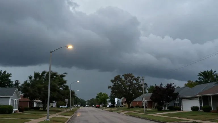
Monday in Jackson, Mississippi, begins with temperatures in the upper 50s and low 60s, though the air holds residual moisture from recent rainfall. Skies remain mostly cloudy while winds pick up in the afternoon, producing gusts between 10 and 15 mph. Highs will reach the upper 70s and low 80s before the weather pattern shifts.
Tuesday opens with dry conditions as polls open for Election Day. A cold front arrives by nightfall and lingers into early Wednesday morning. Forecasters expect isolated showers to develop in the evening, bringing a marginal risk, defined as 1 in 5, for severe weather in areas west of I-55.
Damaging winds will be the primary hazard, accompanied by small hail. The system also carries the potential for localized flash flooding and a brief, spin-up tornado. Residents in the western corridor are advised to remain weather aware as these storms may intensify.
Once the front passes through Tuesday evening, conditions dry out for the remainder of the week. Cooler air moves in behind the system, establishing more typical autumn conditions. Afternoon highs will drop to the low and mid 70s, marking a distinct shift from the warmer temperatures recorded on Monday.
Source: WLBT